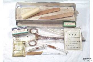
NVA Medical Kit
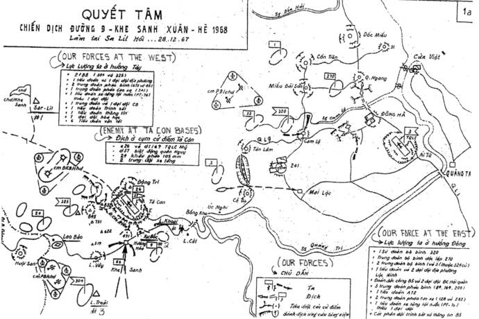
ROUTE 9 KHE SANH OPERATION (SPRING SUMMER 1968)
(Made at Sa Lit Hoi, Dec 28, 1967)
The translation starts clockwise with the box at the lower right corner.
Box 1 - Our force at the East:
-
320th Infantry Division
-
270th Infantry Independent Regiment
-
2 Infantry Regiments: 1st & 3rd (part of the former 324th Division)
-
1 battalion and 2 companies of Loc Ninh local force.
-
The "special force" B5 and 2 companies of Naval "special force" (Seal force??)
-
3 Artillery Regiments (84th, 164th, and 209th).
-
1 battalion A72
-
2 Anti-aircraft Artillery Regiments (128th and 282nd)
-
1 Armor/Tank battalion (PT 70) without 1 company.
-
The Scouting/Intelligence groups and the Signal groups of B5.
Box 2:
-
Our forces
-
Enemy
-
Destroy those bases
-
??? (Could not read very well. Something like "attack the reinforcements")
Box 3 - Enemy at Ta Con Bases:
-
C26 and D11C9 American Marine
-
D37 Vietnamese Ranger
-
24 of 105mm cannons.
-
2 Armor/Tank platoons.
Box 4: - Our forces at the West
-
2 f (???) Infantry (304th and 325th)
-
1 battalion and 1 company of local force
-
2 Artillery regiments (675th and 45th)
-
1 Anti-Aircraft Artillery regiment (241st)
-
1 Armor/Tank battalion (PT 76) without 1 company.
-
1 Engineer regiment and 1 Engineer company
-
1 Scouting/Intelligence battalion
-
1 Signal battalion
-
1 Chemical company
-
6 Transportation battalions
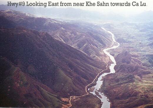
Route #9 is on left side of river, the river runs around Khe Sanh,
Route #9 runs straight through Khe Sanh and into Laos
General area of NVA Map
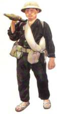
NVA Soldier
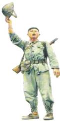
NVA & RPG
TRANSLATION OF NVA MAP SHOWN ABOVE
NVA MAP
PHOTO BELOW IS OF NVA MAP SHOWN ABOVE
Photo submitted by Paul Marquis
NVA Map and Translation of Map submitted by Maj. James Cannon
MALINE'S
NUMBA ONE!
HOME
Map area covers the entire Quang Tri area from the Laotian border to the mouth of the Cua Viet River.